

At this point, we've all seen hundreds, if not thousands, of
photosfrom
The Flood(even if some of those photos may have
lacked technique), and you might not be in the mood to look at any more. But thanks to
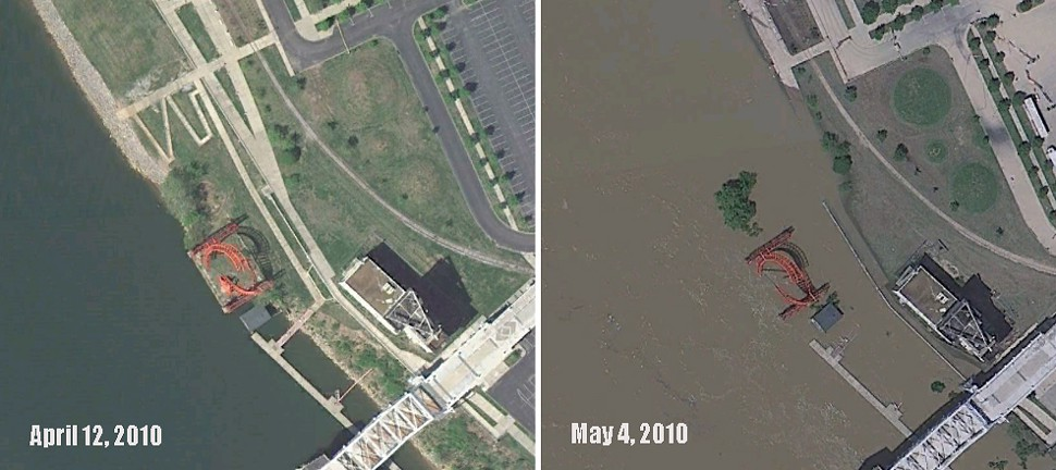
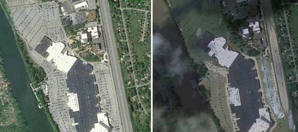
Google Earth, you can now swoop digitally over the Nashville landscape and compare the pre- and post-flood landscapes in detail — and from an infinite number of angles — using their historical imagery timeline. The satellite camera captured us on a sunny April 12 and again on a cloudy, ominous May 4. In the side-by-side above, you can see "Ghost Ballet for the Eastbank Machineworks" as it's subsumed by the Cumberland. Opryland after the jump.
(Via Google Earth Blog.)