

Storms hammered a path through Davidson County in quick succession Thursday morning. While rain began Wednesday evening, a powerful storm system — including one cell responsible for a tornado in rural Selmer, Tenn. — first hit Nashville around 2:45 a.m. Tornado warnings soon gave way to flash-flooding concerns, which will continue through the weekend as Nashville prepares for even more rain starting Thursday evening.

Tips for managing the effects of floods, tornadoes and other dangerous weather in Middle Tennessee
Several pockets of the city have endured more than 5 inches of rain in the past 24 hours. The rainfall has brought dangerous currents to swollen creeks and streams. City emergency services have responded to multiple calls for water rescue and stranded vehicles. The National Weather Service’s most recent flash-flood warning remained in effect Thursday through 2:45 p.m.
The line of storms cut northeast, entering Davidson County near Bellevue and exiting the county past Opry Mills. Areas including Belle Meade, Forest Hills, Berry Hill, South Nashville and Donelson saw between 5 and 6 inches of rain, the city’s highest totals. Richland Creek crested around 11 a.m. on Thursday.
See videos from Thursday's floodwaters, several of them submitted by Scene readers, below.
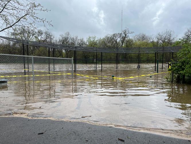
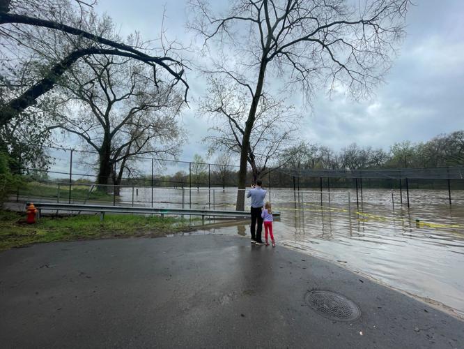
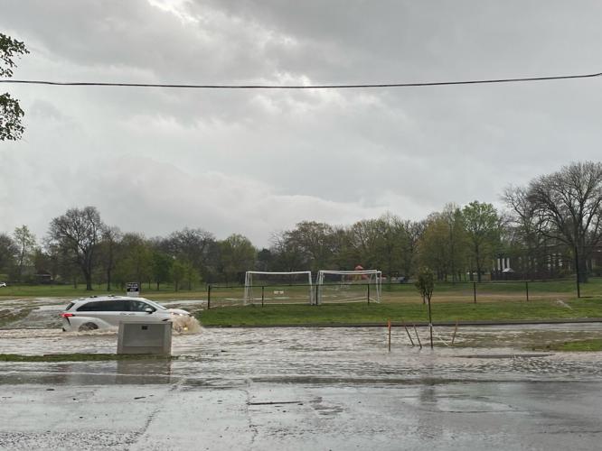
Battlemont Park
Battlemont Park
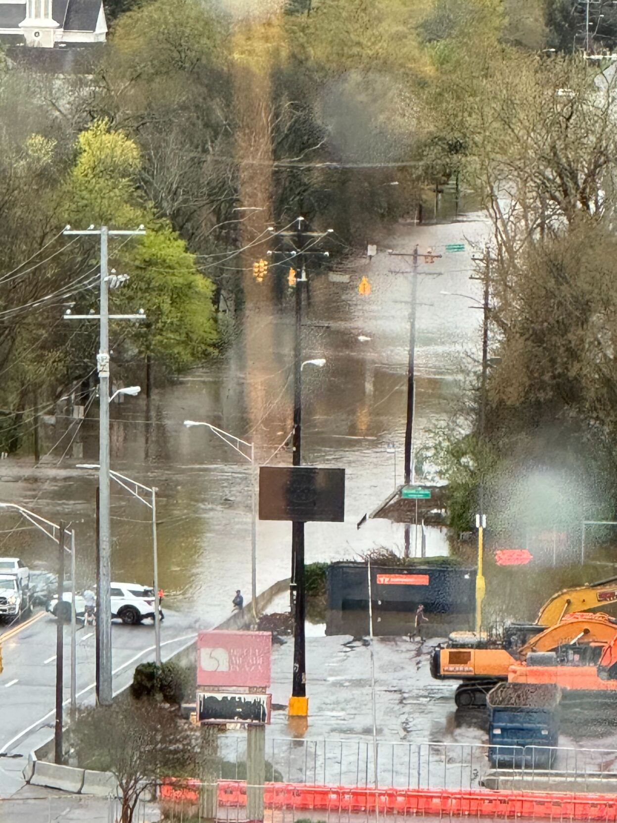
Charlotte Pike
Richland Creek Greenway
Richland Creek at Charlotte Pike
Melrose
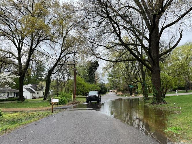
Belle Meade